The UK weather agency has revealed the exact areas that could see a glimpse of the white stuff this weekend.
The Met Office has offered its verdict on what areas could see snow this weekend ahead of an icy cold snap next week.
Wind, rain and hill snow is predicted to fall on Sunday with the north likely to see a light dusting of the white stuff – while inland areas stay dry with long spells of winter sun.
Wider patches of rain and hill snow could dust southern parts, but “disruptive snowfall” is unlikely.
Alex Deakin, a Met Office meteorologist, said around “4cm of snow will fall across three hours on Saturday afternoon across the Scottish Highlands, parts of Aberdeenshire and some parts of Stirling”.
He added: “It is only really across Scotland… Obviously, it wouldn’t take much of a swing and for that air to be a bit colder when that air comes in for snow to be seen at lower levels, but at this stage it looks like it is just going to be snow on the hills in Scotland.”

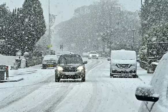
Certain areas of the UK could see snow this weekend (Image: Getty)

Areas across Scotland could see the largest amount of snow (Image: Met Office)
“Cold air will be flooding its way south over Saturday night. By the time we get to the early hours of Sunday morning, much of Scotland will be covered in freezing levels where ground is only at 400m.”
Rain is forecast to move south across England and Wales on Saturday with brighter, colder with blustery showers elsewhere.
The list of areas that could see snow are: Stirling, Scottish Highlands, Aberdeenshire, around the Newcastle area and Hull alongside its surrounding areas.
Deputy Chief Meteorologist Mark Sidaway said: “The high pressure that has been responsible for the mainly dry weather through much of this week will retrogress into the Atlantic as we get towards the weekend.
“This will gradually introduce more unsettled weather, initially in the north from Friday but more widely from Sunday.

Temperatures are forecast to plunge next week (Image: Getty)
“In addition to this increased rainfall, which could be heavy at times on Sunday, temperatures will also drop, especially for those in Scotland, as a northerly airflow develops, bringing colder Arctic air to some northern areas.
“This shift does introduce the possibility of snow, initially over high ground in the north from Sunday, with gusty winds also a potential hazard.”
As we go into next week the forecaster is warning that “frequent wintry showers are expected, mainly in the north and along eastern and western coasts where exposed to the strong north to northwesterly flow”.
“Snow is likely to fall to low levels, however, there is a risk of some more organised areas of rain and hill snow running east across more southern parts” the Met Office added.


