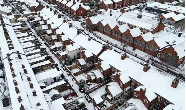
The maps show snow potentially falling in all four corners of the UK as the winter weather takes hold.
New weather maps show which parts of the UK are most likely to see snowfall later this month as the cold of winter takes hold.
According to forecasts from WX Charts and Netweather, there is an increased chance of snowfall between November 19 and November 21.
On November 19, the colder conditions are set to hit the northwest of Scotland while the rest of the UK is spared.
However, later in the day, Netweather’s maps show colder conditions will potentially bring snow in the west of England near the Welsh border with between 60 and 70% chance of seeing snowfall.
The west of Wales will also be at higher risk of snow.

Various parts of the UK could be hit with snow (Image: Getty)

Maps show where in the UK could see snow (Image: Netweather)

November 19 will see potential snow in Scotland then in western England (Image: Netweather)

On November 20, the east of England could see snow (Image: Netweather)
The following day (November 20), the snow risk moves to the southeast of England, with much of Essex and London enduring the coldest conditions with the area looking at a 50% chance.
On November 21, WX Charts forecasts snow across the eastern side of the UK from areas in Scotland all the way down to Suffolk and Norfolk in England.
The Met Office forecast for November 11 to November 20 states: “Early next week will see a good deal of dry, settled weather as high pressure builds across the UK.
“However, after a bright start, increasingly cloudy conditions are likely to develop by midweek, with patchy drizzle possible at times. Some fog is also possible, this slow to clear.”

On November 21, much of the UK is at risk of snow (Image: WXCHARTS)
The Met Office adds that the weather will then be more unsettled with rain and showers falling in the east of the UK.
Winds will also pick up later in November as temperatures will start “little above average at first, but will tend to drop a little below average later.”
Brian Gaze, founder of The Weather Outlook told Express.co.uk this week where snow is likely to fall if it arrives.
He said: “There are indications of it turning colder after mid-month. In fact, several recent computer models have predicted a plunge of icy Arctic air moving, down across the UK around the 18th until 20th November, so it is something to keep a close eye on.
“It would bring the potential for snow to northern regions, particularly higher ground.
“Given the recent mild weather, such a sudden shift would mark a stark contrast and a surprising early taste of winter.”

